
YUNEEC Surveying and Mapping Service team undertook the UAV BIM task required to produce 3D modeling in the preconstruction of a 35KM expressway in the Tianjin Binhai New District.
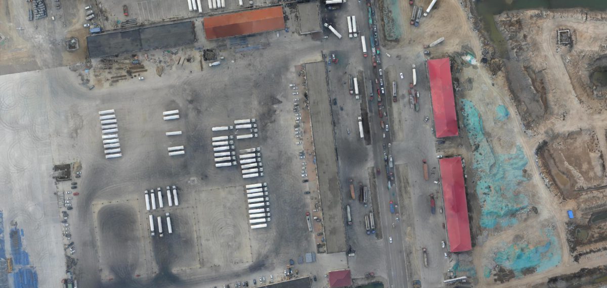
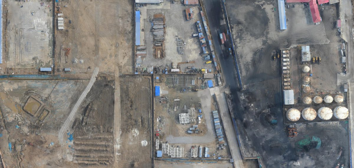
In mid-November of 2018, YUNEEC undertook the project located in Tianjin, Dagang District, which is adjacent to the Bohai Sea. The winter monsoon in Tianjin is usually heavy at 5-7 winds, and the temperatures rapidly drop in December, which indicates snow season is approaching. The project schedule is tight in the harsh environment due to many other projects running simultaneously in the area. There are many types of landforms in the project region, including highways, provincial and municipal highways, viaducts, low-rise buildings, private houses, chemical plants, gas stations, fish ponds, and gullies. The entire project has exceptionally high requirements for the wind resistance and stability of the drone.
Concerning the site conditions and project requirements, the team decided to use the H520 to complete the project. First of all, built-in a six-rotor power system, H520 enjoys more stability in flight and stronger wind resistance. Although equipped with a 6-axis high-power east-west system, endurance performance of H520 is still excellent, with up to 28 minutes. The E90 gimbal camera utilizes a one-inch CMOS imager and 23mm equivalent focal lens, capable of capturing images in 20MP resolution. The 10-bit video decoding system dramatically improves the camera’s compression efficiency while maintaining high image quality. The E90’s excellent performance guarantees high-quality mapping results.
The mission planning software of Yuneec is capable of realizing the dual mission planning of a handheld ground station and PC. It is much more convenient and efficient to upload the missions to the ground station through the PC end. The flight planning software can divide the measurement area into large areas, and the single flight mission can be paused, interrupted, saved, and continued conveniently. The YUNEEC H520 provides support for flying manually in complicated areas through its unique and independent video transmission system, its control signal, and low-latency communication design. Missions can be deployed quickly without the use of a mobile phone and added connection, utilizing the H520’s groundstation and its integrated 720P touch screen.