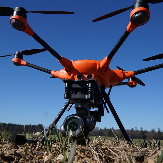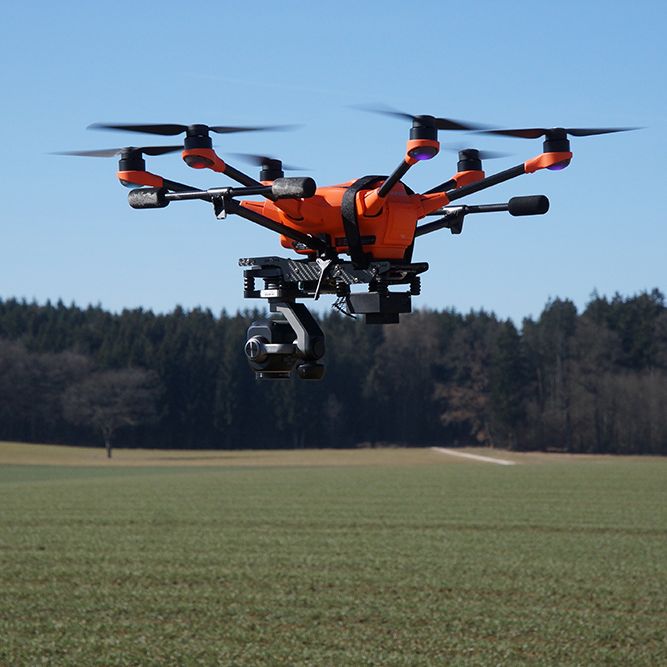
Geo-konzept, one of the market leaders in its field, offers its customers manufacturer-independent and individual GPS-supported steering systems as well as comprehensive RTK correction data. Geo-konzept’s software and hardware solutions make the H520 an intuitive and cost-effective tool for agriculture that can be used to create and export fertilizer maps quickly and efficiently.
quiN is a software solution that turns the Yuneec H520 into a simple and cost-effective tool for farmers. Geo-konzept equipped the drone with a multi-spectral camera, which measures the wavelengths of the light, allowing them to produce data regarding the growth and condition of the crop. The quiN software also triggers the multi-spectrum camera in unison with the E90 photo/video camera for ease of reference. The image series created by the H520’s flight is then imported directly into the quiN software and converted into a biomass zone map. This zone map can then be exported directly to the tractor, e.g., with fertilizer quantities, to the finished fertilizer card – just a few minutes after landing.