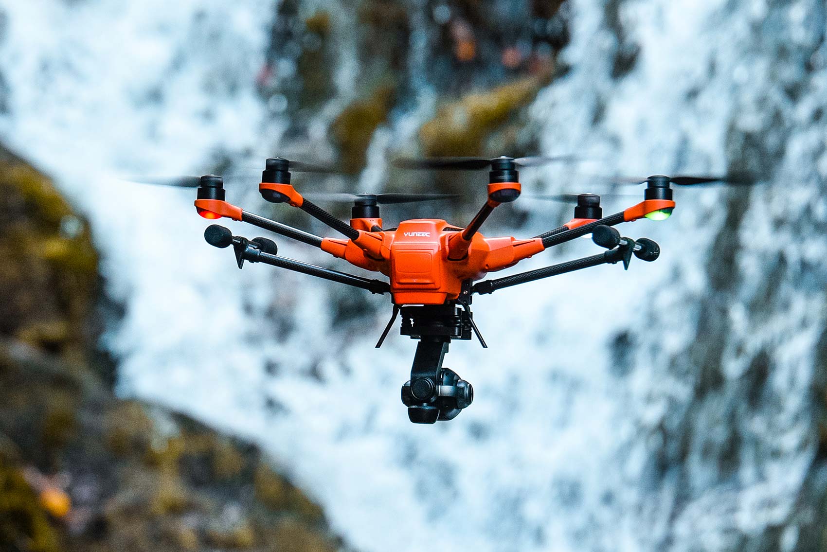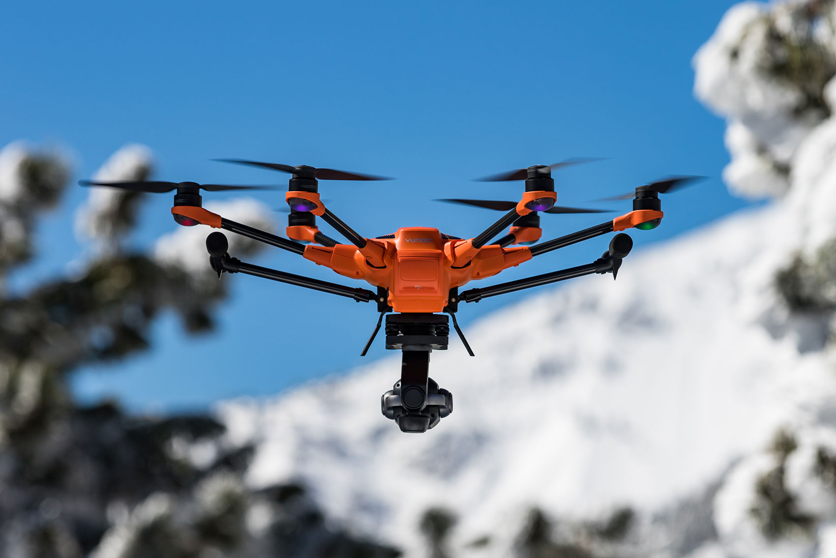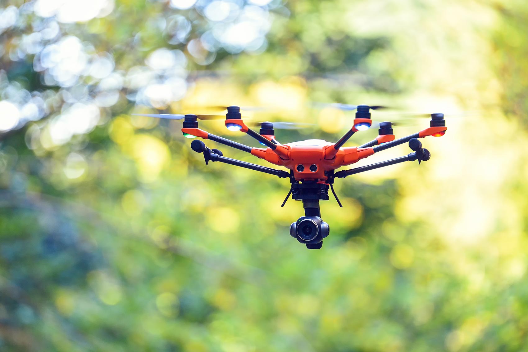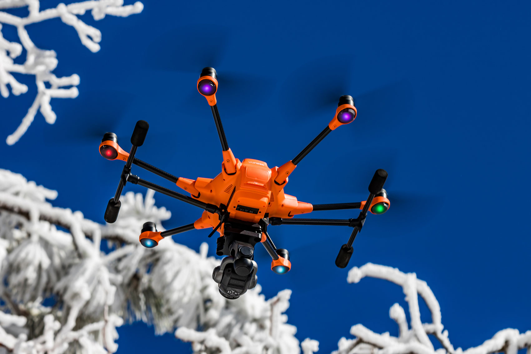

The H520E and H520E-RTK released November 2020 is the latest Hexacopter solution from Yuneec giving the user extended range, more compute power, precision navigation, and even greater reliability.
Built for Industrial Use and Ambitious Professionals
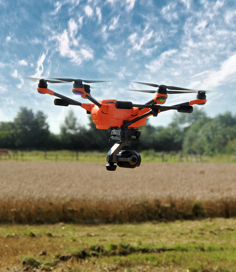
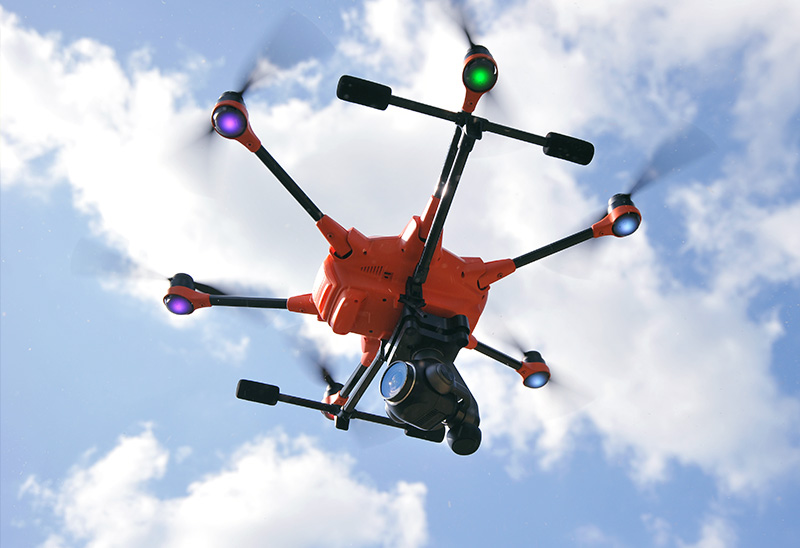
The H520E is designed with the inspection industry in mind with six-rotor systems that allow for stable, precise flight, long focal-length lenses that allow the sUAS to fly at greater distance from an object and data storage that may be shared instantly from the ST16S/E Ground Station or delivered directly in 4K/2K/HD video or 20 Mp still images.
Reliable, Stable and Precise
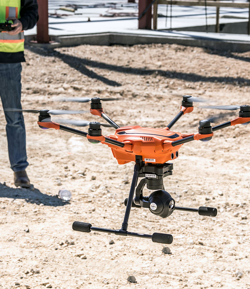
Even in high-wind environments, the Yuneec H520E sUAS system is able to hold position, allowing the solution to fly even when a manned inspection would be deemed unsafe. Exclusive flight speed control offers slowest speed above stall flight for maximum precision in challenging environments. H520E’s landing gear retracts out of the way to give a full, 360 view fo the world to capture important data in the field. Also Commercial, comprehensive service packages are available separately.
No Transfer to Remote Servers
Your data belongs to you. The H520E Hexacopter and the ST16S/E remote control communicate directly, so there is no involuntary data transfer to servers in China, Germany or anywhere else in the world. Neither flight data nor images, videos or logfiles are forwarded to external servers and remain in your possession. Thus, your data is optimally protected.
Orbit Flight
Orbit Flight lets the H520E circle around the Pilot/ Remote Control in a user defined distance, always pointing the camera to the center of the circle.
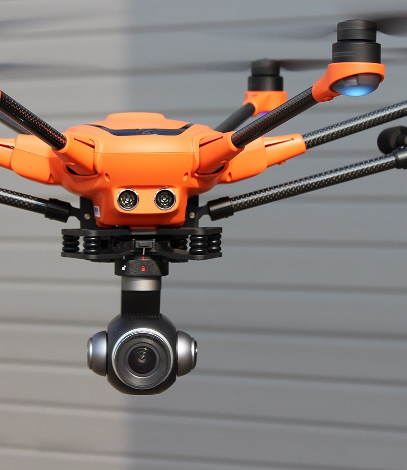
Hot-Swappable Payload Options
All of our H520E cameras are hot swap-capable on our sUAS platforms, allowing for significant time-savings through not requiring a power-down/restart of the USA system. This also allows for consistency of data-storage, rather than using multiple storage devices and locations. Whether it’s thermal imaging, long focal length, or wide focal-length data capture, memory cards may be swapped from device to device.
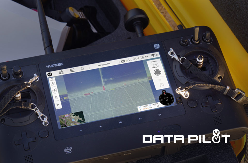
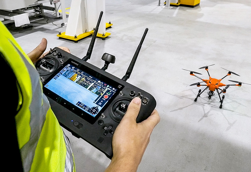
ST16S/E All-in-one Controller
The ST16S/E Ground Station is an all-inclusive transmitter and receiver that gives you full control over the H520E during flight, allowing users to capture photos and video with great base. With a large 7-inch integrated screen, the Android-based ST16S/E controller displays real-time footage of your flight, eliminating the need for an external device. You can also use the ST16S/E as a mission planner. Plan your flight using the touch screen, and execute your mission with just a single press of the button.
Team Mode Functionality
Team Mode allows you to independently control copter and camera via two remote control systems. While the drone pilot continues to take control of the copter, the camera operator can concentrate entirely on the camera. This collaboration greatly facilitates the capture of creative images and provides not only film producers, but also fire departments, inspectors and other commercial users with a helpful tool for making jobs more precise and to work in a team.
*Please note the mentioned safety instructions for using Team Mode with H520 only at this time
YUNEEC DataPilotTM
Yuneec DataPilotTM software system enables users to efficiently and consistently create orthomaps, 3D scans, crop data imagery, in the field or on the desktop for repeatable, recallable aerial flight paths, without requiring expensive third party software. Missions/flights may be stored for later recall/reflight, or planned off-site and transported to the control system via email, thumbdrive, or micro-SD card. DataPilot auto-generates survey paths with user-defined frontlap/sidelap, and cross-hatching for precision 3D or large format image output. DataPilot also allows for storage/caching of maps from many map providers for access in areas with no connectivity, and provides tools for precise waypoint placement even in areas where no updated maps are available.
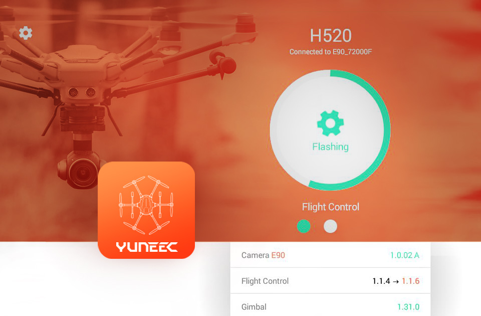
YUNEEC UpdatePilot
Stay up-to-date with the YUNEEC UpdatePilot for the H520E with E90X camera. The app is available on the Google Play Store and allows you to check and automatically update your copter to the latest software version. After the app has been opened, WiFi and camera have been selected, you can search for software updates with one click on the “Check App Version” button and automatically download and install the latest update if necessary. Make sure that the H520E is switched on. Please note that the YUNEEC UpdatePilot can only be installed on the ST16E and a micro SD card must be inserted in the camera to accomplish the updates. Currently the YUNEEC UpdatePilot is only available for the H520E with E90X camera.
Use Cases
Ford Motor Company
High-performance drones enable a more effective monitoring of industrial production processes. In order to carry out maintenance work at Ford Dagenham Engine Plant in the UK not only faster, but also more safely, the car manufacturer has recently opted for the Hexacopter H520 from Yuneec. With this drone, high-rise gantries, pipelines and roof areas in staggering heights can be inspected quickly and easily using the remote camera.
Atelier d’Architecture Rivat
The Atelier d’Architecture Rivat is a French architecture studio based in Saint-Etienne and Paris, specialized in the design and renovation of high-performance buildings. Since late 2017, the firm has been using a Yuneec H520 drone which allows them to inspect the inaccessible or dangerous parts of a building, but also to perform thermographic analyzes and topographic surveys, or to design promotional videos.
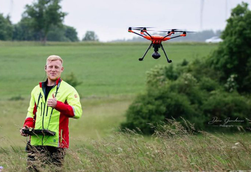
Animal Rescue
Alexander Mohr is a Helicopter and Drone operator who provides air support for Animal Rescues and Hunting with the purpose of preventing damage caused by game, saving lives and organise hunts. Alexander uses the Yuneec H520 and E10T thermal-imaging camera to identify different types of animals.